Navigational Summary
Navigating down the west coast is pretty simple. Keep the shore to
port and the ocean to starboard. So why sweat all the
navigational equipment? Check the correct answer
below.
1. Because it fun to play with cool
gadgets?
2. Because the coast guard requires them?
3, Because sooner or later one has to come back
to land?
If you chose 3, you are
right. But number 1 is not totally wrong.
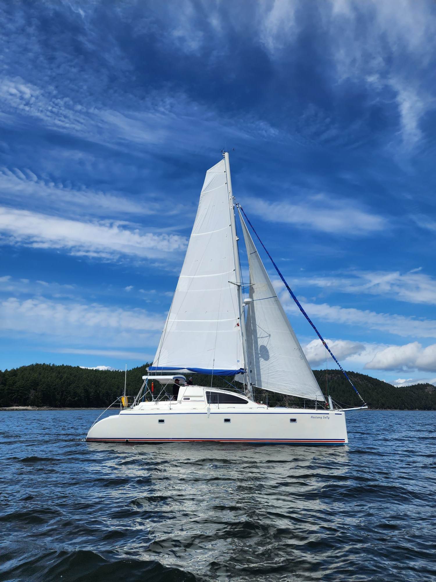
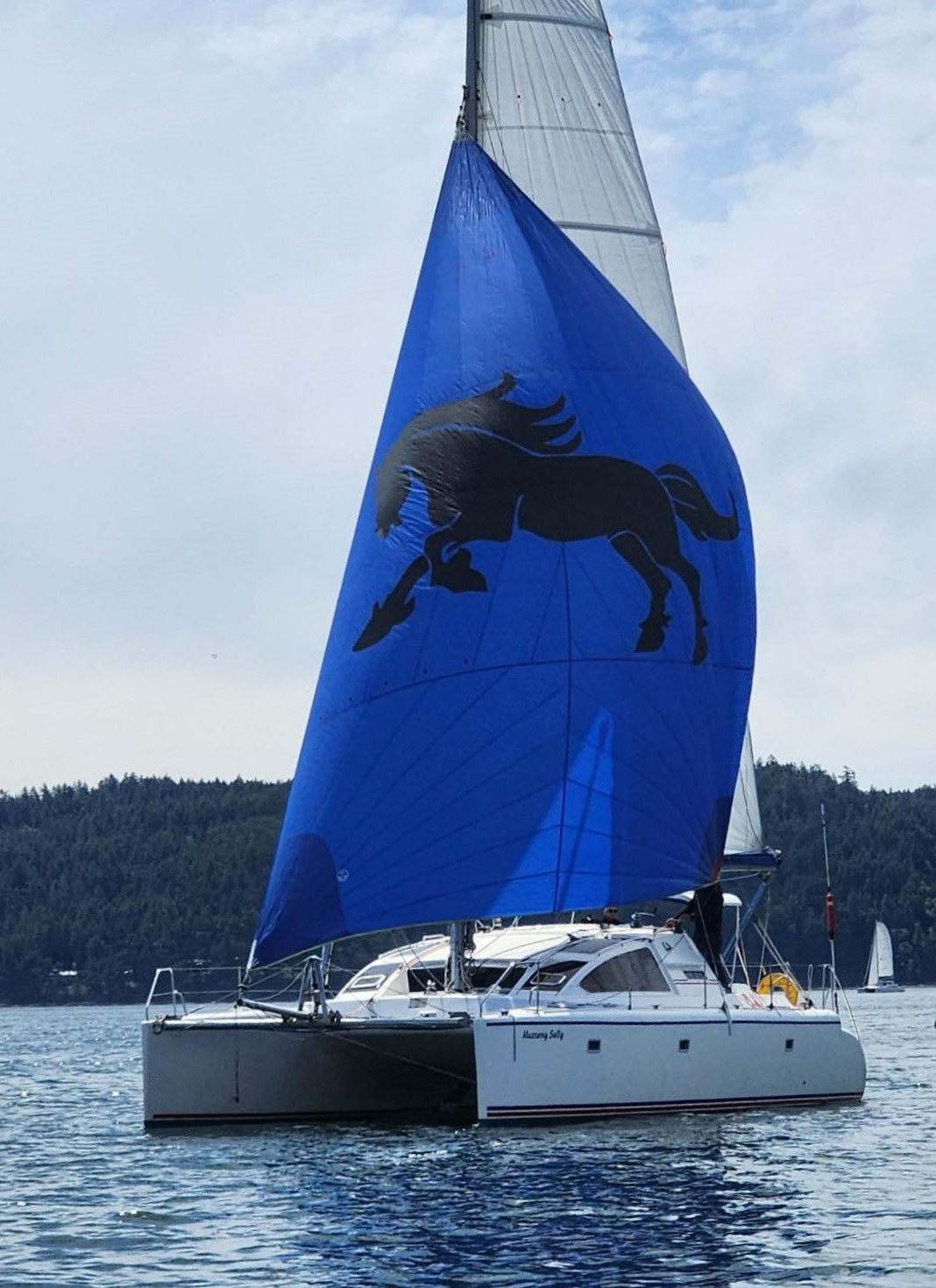
To keep from unexpectedly finding hard
stuff (land), Mustang Sally uses a variety of means to keep
the boat on course and the current position well defined. Below is a
list of the gear and methods:
Hourly "system checks".
In the open ocean, once an hour we go over all the key operating and position
information and confirm all is OK or correct any deficiencies. We use this Excel
spreadsheet as a worksheet to comfirm checks are carried out and analyze performance.
template sheet
here.
Latitude and Longitude tracking via one or both of our navigation
computers. Accuracy is normally with 3-5 meters. Good enough one would think but
NO! Just north of Santa Cruz, California positioning failed.
So I fired up the backup GPS. It couldn't get a position either.
Both were reporting poor signals. Uh oh I thought ... was
Uncle Sam blasting away at some new terrorist haven and turned off the GPS system?
Rubbing my hands together in worry then start with dead reckoning.
Barely got going with the DR routine and both GPS's jumped back to
life, about 45 minutes later.
OpenCPN
provides electronic charting. The system along with all the electronic charts
we have accumulated keeps us on course and out of trouble.
Prior to each leg, I use the OpenCPN software to plot the course
then zoom in and analyze in detail to insure we are well clear of all dangers. As we
travel, we monitor position and course continually.
While underway, most often we run with the
Comnav autopilot steering down the
plotted course. The Connav unit requires manual adjustments to get
the best steering response and power usage combination in
different wind/sea conditions. In close quarters hand steering is
required.
We can steer the boat by adjusting the course on the OpenCPN software with the autopilot, but
doing so is rather clumsy. Most often we use the autopilot
controls for dodging debris or to alter course temporarily.
When sailing, the autopilot steers a better course for the wind when
it is steering to a magnetic heading. Under sail, it can't steer as efficiently as
a good helsman, but it can steer pretty well for a lot longer than that good helsman.
A 27 inch Dell monitor
provides visual output from the computer. This unit can be read in all
light conditions and can be adjusted for dusk and nightime. The moniitor, computer and
Starlink also prove useful for business, finance, online entertainments like Netflix, Youtube, etc.
A
Comnav 1101
Autopilot
operates independently or via direction from the OpenCPN software.
Most of the time, this
unit steers the boat in "navigation" mode.
In this mode the autopilot steers the defined track that we configure
using the charting software.
A Raytheon depth sounder is
essential for confirming positions.
A pair of Steiner Binoculars
with a built in compass is great for taking hand bearing.
A Platismo binnacle compass is
essential for those rare occasions when one is on the ocean and the autopilots fail.
A backup Raytheon Wheel Pilot
is also available and configured to work either independently or under
control of the OpenCPN.